Osmeña Peak and Kawasan Falls sit on opposite sides of the mountains in southern Cebu, and one of the island's best-loved hikes links them. The traverse starts in the cool highlands of Mantalongon in Dalaguete, climbs to the jagged summit of Osmeña Peak (often spelled Osmena Peak) at 1,013 metres, then drops west through farms, forest and river valleys to the turquoise pools of Kawasan in Badian.
It is a long day rather than a technical one. The summit itself is a short climb from the trailhead, while the descent to Kawasan takes most of the day. Many visitors do the two as separate trips by road, but walking from one to the other shows you a side of Cebu that few day-trippers see.
This guide covers getting to the jump-off, the entrance fee and summit, the traverse, the shorter options, and what to pack.
Osmeña Peak at a glance
- Height: 1,013 metres above sea level, widely described as the highest point in Cebu
- Jump-off: Mantalongon, Dalaguete, in southern Cebu
- Summit climb: about 15 to 30 minutes from the trailhead
- Traverse to Kawasan Falls: roughly 4 to 6 hours on foot, plus stops
- Entrance fee: reported at ₱50 to ₱150 per person; confirm on the day
- Best months: December to May
How to Get to Osmeña Peak from Cebu City
From the Cebu South Bus Terminal, take a bus bound for Oslob or Santander that passes through Dalaguete, and ask to get off at Dalaguete town. Recent guides put the ride at about two and a half to three and a half hours, depending on traffic, with fares of roughly ₱150 to ₱200 each way.
From the highway, habal-habal drivers take you up the winding road to Mantalongon and the jump-off point in about 30 to 40 minutes. Recent guides quote around ₱100 to ₱150 one way. Agree on the price before you set off, along with a pick-up time if you are coming back down the same road. If you plan to traverse to Kawasan, you only need the ride up.
To reach the summit close to sunrise, you need to leave Cebu City in the very early hours, around 2 to 3 am. For a gentler start, an afternoon arrival avoids the worst of the midday heat and still gives you the late light on the ridges.
Osmeña Peak Entrance Fee and Summit Climb
At the trailhead, register and pay the entrance fee. Recent guides report anywhere from ₱50 to ₱150 per person, with the higher figure including a local guide, so have small notes ready and confirm the amount when you arrive. If you plan to camp near the top, there is an extra camping fee of around ₱50, and you should bring your own tent.
The climb from the trailhead to the summit is short. Most people reach the top in 15 to 30 minutes, though the last stretch is steep and rocky and can call for some scrambling. Small huts and stalls near the start often sell water and snacks, but bring your own.
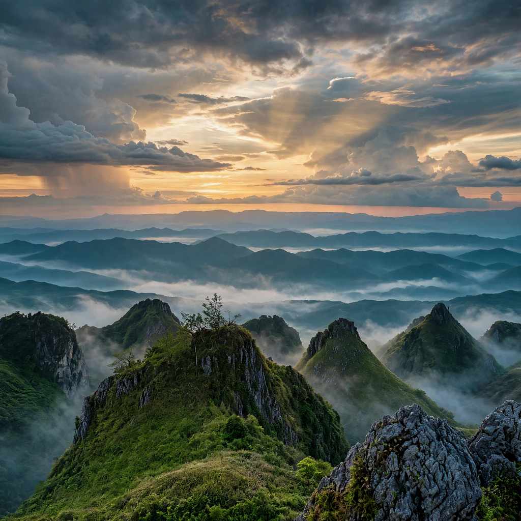
The view is the reward: rows of sharp, grass-covered limestone peaks, with the sea visible on clear days. Early mornings often bring a layer of cloud below the ridges. Allow at least 45 minutes to an hour at the top to take it all in.
Osmeña Peak to Kawasan Falls Traverse
The full route crosses the island from east to west. It starts on the Dalaguete side in Mantalongon and finishes in Barangay Matutinao, Badian, where Kawasan Falls tumbles down toward the coast. Plan for a full day. The walk from the peak to the falls is commonly given as four to five hours, and with breaks, photo stops and a slower pace on the descent, six hours or more is realistic.
Hire a local guide for the traverse. The route crosses farmland, small villages, forest and river valleys, and the path is not always obvious to someone walking it for the first time. Arrange the guide at the trailhead or through your accommodation, and confirm the fee, the start time and the meeting point the day before.
Water sources along the trail are limited and can be hours apart, so carry more than you think you need and refill wherever your guide points out a safe source. The trail ends near the upper levels of Kawasan Falls, a welcome place to cool off before the final walk down to Matutinao and the main road, where buses run back north along the west coast to Cebu City.
Some people choose to camp near the summit and start the traverse at first light. The campsite can fill with thick fog, so pitch a sturdy tent and keep your gear dry.
Shorter Ways to Do Both
If a full day of walking is too much, you can still see both places in one day. A habal-habal from Osmeña Peak to Kawasan takes around an hour or more by road; agree the fare with the driver before you leave. Many tour operators also offer packages that combine the summit with canyoneering at Kawasan.
For the water side of the trip, our Kawasan Falls canyoneering guide covers the jumps, the guides and the gear. If you would rather keep driving south, the south Cebu waterfalls road trip lists more stops nearby.
Best Time to Hike Osmeña Peak
December to May is the most dependable period, with drier trails and a better chance of clear views. August and September are the hardest months, with muddy paths and frequent cloud. Weekdays, and especially early weekday mornings, are much quieter than weekends.
Check the forecast the night before. After heavy rain, the descent to Kawasan can turn slippery and streams along the way can rise, so it is better to wait a day than push on.
What to Pack
Wear shoes with good grip; the limestone is sharp and the descent is long. Bring at least two litres of water per person for the traverse, plus snacks, a hat, sun protection and a light jacket for the cool summit air. A dry bag keeps your phone safe near the water, and swimwear is worth packing for the pools at the end.
Mobile signal is weak in the mountains, so download an offline map before you leave and tell someone your plans. Carry cash in small notes for fees, food and transport back.
Osmeña Peak FAQ
How much is the Osmeña Peak entrance fee?
Recent guides report ₱50 to ₱150 per person, with the higher amount including a guide. Camping near the summit adds about ₱50. Fees change, so bring small notes and check at registration.
Is Osmeña Peak hard for beginners?
The summit climb is short and suits most beginners, although the last stretch is steep and rocky. The traverse to Kawasan Falls is a different matter: it is a full day on foot with a long descent, so it suits people who are used to walking for several hours.
Do you need a guide for Osmeña Peak?
Reports differ for the short summit climb, and some registration fees already include a guide. For the traverse to Kawasan, a local guide is strongly recommended because the route is long and not always clearly marked.
Can you camp on Osmeña Peak?
Yes. Camping is allowed near the summit for a small fee of around ₱50. Bring your own tent or ask about rentals at the jump-off, and expect cold, foggy nights.
Is Osmeña Peak the highest point in Cebu?
At 1,013 metres above sea level, Osmeña Peak is widely described as the highest point in Cebu province.
A Full Day From Peak to Pool
The traverse packs much of southern Cebu into a single walk: highland farms, a sharp summit, quiet villages and one of the island's most famous waterfalls at the end. It asks for an early start, a guide and steady legs, and it gives back a very different view of Cebu from the one most visitors take home. For other quieter corners of the island, see our list of Cebu places beyond the crowds.
Sources
Osmeña Peak/Traverse to Kawasan Falls – PinoyMountaineer
How to Visit Osmeña Peak in Cebu: 2026 Travel Guide – Jonny Melon
Osmeña Peak guide, 2025 edition – 3D Universal English Institute
Osmeña Peak is One of the Easiest Hikes With the Best Views in Cebu – Ahround PH, 21 May 2023
Dalaguete eyes waiving of entrance fees during Osmeña Peak reopening – Cebu Daily News, 1 August 2020