A first hike should leave you wanting a second one. That means a trail you can finish before lunch, a jump-off you can reach without a private van, and a view at the top that makes the early alarm feel worth it. The Philippines has plenty of these, scattered from the Cebu highlands to the ridges south and north of Manila.
This list keeps to trails that local guides and hiking groups treat as entry-level, and it says plainly where "easy" comes with a catch: a steep last stretch, a long ride to the start, or thin mountain air. Each entry covers roughly how long the walk takes, what makes it worth doing and what tends to trip up newcomers.
Fees, guide rates and trail rules at Philippine mountains change often, and some are set by the barangay or the local tourism office rather than any national body. Treat the figures here as a starting point, carry small bills, and confirm the amount at registration before you pay.
What "beginner-friendly" should mean
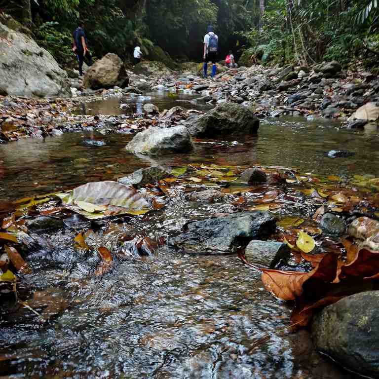
Before picking a mountain, check it against three questions. Can you finish the walk in about four hours or less, including the way down? Is the trail well used, so you are unlikely to lose it? And is there a registration point or barangay hall at the start, where you can hire a guide and tell someone you are on the mountain? A trail that passes all three is a safe first outing even if it is steep in places. One that fails two of them is better saved for later, whatever its online rating says.
Visayas: short climbs with big views
Osmeña Peak, Dalaguete, Cebu
Osmeña Peak is the obvious first climb in Cebu, and for good reason. At 1,013 metres it is widely described as the island's highest point, yet most people reach the summit in 15 to 30 minutes from the trailhead in Mantalongon. The reward is a field of sharp, grassy limestone peaks, and on clear mornings a layer of cloud below them.
The catch is getting there. The bus south to Dalaguete and the habal-habal ride up to Mantalongon take a few hours, so a sunrise climb means leaving the city in the small hours. The last stretch to the top is rocky and needs a little scrambling, and the summit has no shade. Once the short climb feels easy, the traverse to Kawasan Falls is the natural next step.
Casaroro Falls, Valencia, Negros Oriental
Casaroro is more a walk than a climb, but it works well as a first taste of the forest. A long concrete stairway leads down into the gorge, followed by a short scramble over boulders along the river to the base of the falls. Going down is easy. The climb back up all those steps is the real workout, so pace yourself and keep water for the return. Skip it after heavy rain, when the river rises and the rocks turn slick.
Southern Luzon: ridge walks within a day of Manila
Mount Batulao, Nasugbu, Batangas
Batulao is the classic graduation hike for people who have done a few walks around town. Its open ridges roll from one hump to the next, so the views start early and never really stop. There are two routes, usually called the old and new trails, and most first-timers manage either in a half day. Expect strong sun and very little shade along the ridgeline, and leave before dawn so you are heading down before midday.
Mount Gulugod Baboy, Mabini, Batangas
The name means "pig's spine," after the shape of its grassy crest. It is one of the gentlest summits in the region: a short trail over open grassland, with the steepest part over quickly. From the ridge you look down on Batangas Bay and the dive resorts of Anilao. It suits families and anyone unsure how their knees will cope with a longer descent.
Mount Manalmon, San Miguel, Bulacan
Manalmon packs a lot into a short outing: a crossing of the Madlum River, a cave detour at Bayukbok, and a modest summit with views over the surrounding hills. Many groups pair it with neighbouring Mount Gola for a twin hike. The river crossing is the part to respect. When the water is high after rain, the barangay may stop hikers from crossing at all, so check before you travel.
North and central Luzon: bigger trips, gentle trails
Mount Ulap, Itogon, Benguet
Mount Ulap is the pick if you want pine forest and a chance of clouds below you without a cold overnight camp. The usual route is a traverse of several peaks, ending far from where it starts, so it is longer than the other hikes here and takes most of a morning. The path itself is wide and well worn. Register and hire a guide at the jump-off in Ampucao, and arrange your ride out before you set off, since the trail finishes in a different barangay.
Mount Pinatubo crater trek, Capas, Tarlac
The walk to the crater lake is long and dusty rather than steep. A 4x4 crosses the lahar plains first, and the hike from the drop-off is roughly one to two hours each way, depending on how far the jeeps can go that season. Access has closed and reopened several times in recent years, so read our Pinatubo trail and fee guide before you plan dates.
Mount Pulag via Ambangeg, Kabayan, Benguet
Ambangeg is the easiest way up Luzon's highest peak, and many people climb it as their first big mountain. The trail is steady rather than steep. The challenges are elsewhere: a permit and orientation at the protected-area office, a medical certificate, near-freezing temperatures before dawn, and the altitude, which slows even fit walkers. It makes a fine goal for a beginner who has prepared. Our Mount Pulag permits and trails guide walks through the paperwork and the gear.
Picking your first one
Start with whatever is closest. A two-hour climb near home teaches you more about your pace, your shoes and how much water you drink than any amount of reading. In Cebu, that is Osmeña Peak. Near Manila, Gulugod Baboy is the gentlest and Batulao the most rewarding. Save Ulap, Pinatubo and Pulag for when a short hike no longer leaves your legs sore the next day.
Hire a local guide even on the easy trails. Guide fees go straight to the community that looks after the path, and a guide knows which side trail is closed, where the safe water is, and when the weather is about to turn.
What to bring on an easy hike
Pack at least a litre and a half of water, more for the long traverses. Add a hat, sunscreen and a light rain jacket, since mountain weather shifts quickly even in the dry months. Wear shoes with real grip; rubber slippers are how most ankles get twisted. Bring cash in small notes for fees and guides, a snack you actually like, a headlamp for pre-dawn starts, and a bag for your own trash. Weekdays are quieter on every trail here, and December to May is generally the driest stretch for the hikes on this list.
Above all, turn back when the weather or your body says so. The summit will still be there next month.


Comments
No comments yet. Been here recently? Share a tip or ask a question.
Leave a Reply